
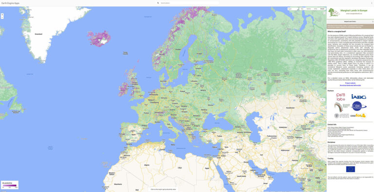
Result description
The MAIL geoportal includes the following applications:
Marginal land identification on EU level based on existing open access datasets
A Carbon Sequestration Capacity groups layer
A Decision support system
Identification of marginal lands using satellite images
A multi temporal analysis tool
Missions
 Adaptation to climate change
Addressing target audiences and expressing needs
Our needs are
- To raise awareness and possibly influence policy
- Help in technical expertise
- Collaboration
We specifically need / are looking for
The Geoportal is addressed to policy makers, stakeholders, researchers and the general public
Target audiences
- International Organisations (ex. OECD, FAO, UN, etc.)
- Research and Technology Organisations
- Academia/ Universities
R&D, Technology and Innovation aspects
Result submitted to Horizon Results Platform by ARISTOTELIO PANEPISTIMIO THESSALONIKIS
