Result description
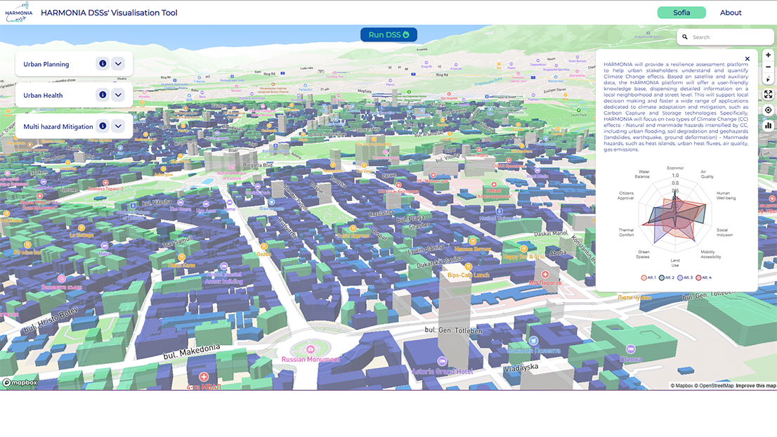
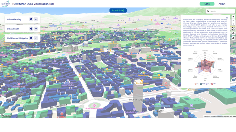
Taking as inputs the parameters from Risk & impact Assessment, the HARMONIA Urban planning DSS provides as outputs Hazard maps (Hazard for particular scenario – with and without mitigation measures). As a result, the user can obtain situational awareness useful for better urban planning in a short time. Also, they can obtain specific geolocated measures that can be applied in the observed area. This allows end users to optimize the urban planning processes and reduce the risk relative to the urban area.
Missions
 Adaptation to climate change
 Climate-neutral and smart cities
Addressing target audiences and expressing needs
Our needs are
- To raise awareness and possibly influence policy
- Help in technical expertise
- Use of research Infrastructure
We specifically need / are looking for
- pilot cities that want to be part of our network
- technical officials within the involved municipalities (final end-users) who want to collaborate to test and refine the service
- insurance companies and banks (potential end-users) who want to be introduced in the stakeholders’ network
Target audiences
- EU and Member State Policy-makers
- Research and Technology Organisations
- Academia/ Universities
R&D, Technology and Innovation aspects
Current stage description
Achivements until now:
- Urban planning DSS Literature review & Best Practices
- DSS’s Algorithm & Workflow Development (ongoing)
- Data integration & consumption (ongoing)
Next steps:
- DSS Optimization / Online Visualization Tool
- Users’ feedbacks & Adjustments
Result submitted to Horizon Results Platform by GEOSYSTEMS HELLAS IT KAI EFARMOGESGEOPLIROFORIAKON SYSTIMATON ANONIMIETAIREIA